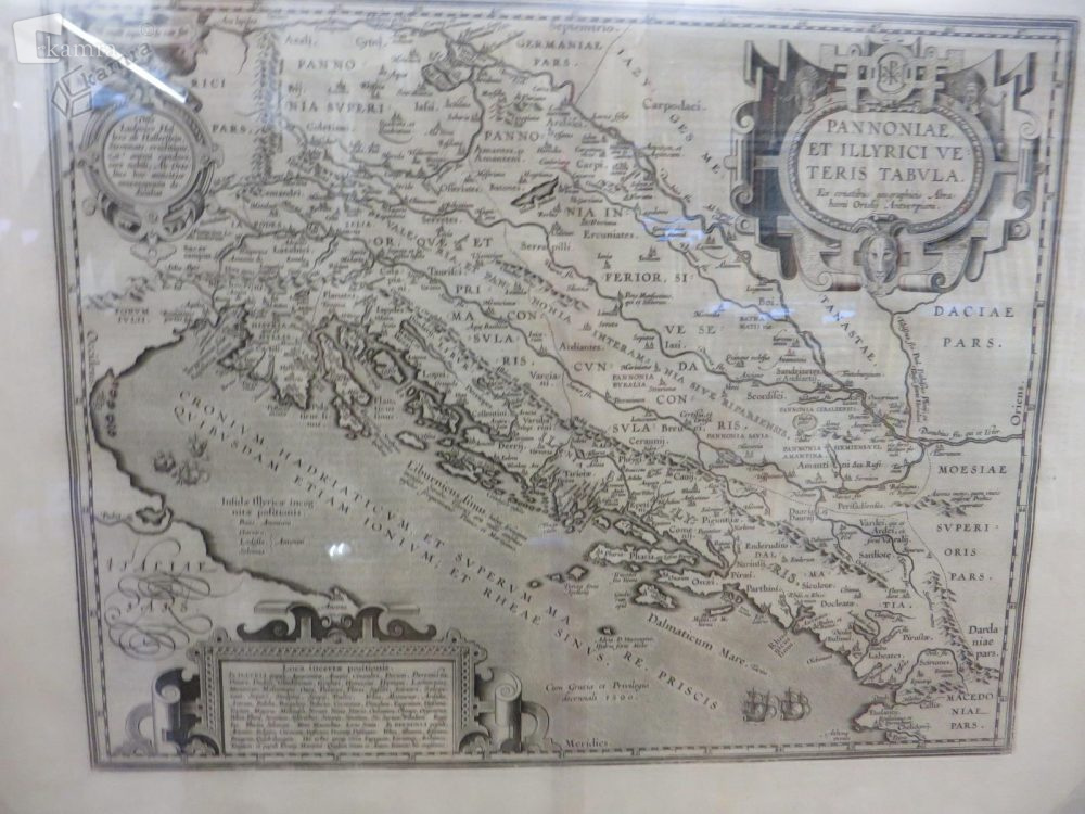
Pannoniae et Illyrici veteris tabvla, 1572 Multimedia element 25.04.2014 10:41 published by Mestna knjižnica Piran V kartuši je opis narodov in plemen, ki so tedaj naseljevali te kraje. Na karti so narisane tudi ladje, ki plujejo po Jadranskem morju. Prikazuje rimsko provinco Ilirik kot jo je administrativno razdelil car Dioklecijan leta 297. Photo FacebookXPinterestLinkedIn Natisni Natisni brez slik